When you click on links to various merchants on this site and make a purchase, this can result in this site earning a commission. Affiliate programs and affiliations include, but are not limited to, the eBay Partner Network.
Application of Remote Sensing and GIS in Droughts and Floods Assessment and Moni

- Item No : 156815270473
- Condition : Brand New
- Brand : No brand Info
- Seller : the_nile
- Current Bid : US $60.48
-
* Item Description
-
The Nile on eBay

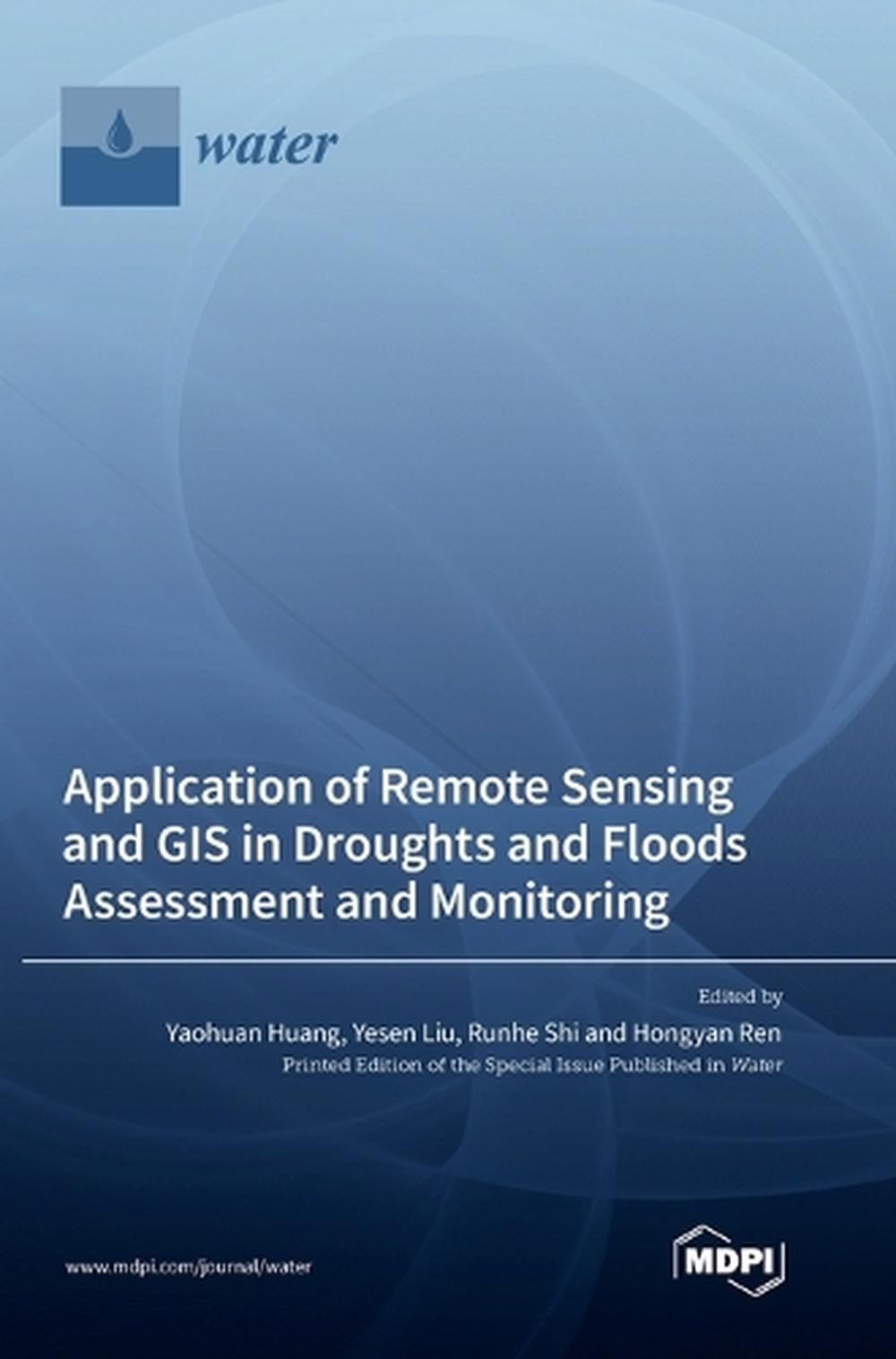
Application of Remote Sensing and GIS in Droughts and Floods Assessment and Monitoring
by Yaohuan Huang, Yesen Liu, Runhe Shi
This Special Issue collates seven papers regarding the assessment or monitoring of hydrological disasters such as droughts and flood using remote sensing and geography information system (GIS) techniques.. The new published research focused on evaluations and models of various hydrological hazards such as droughts and floods. Furthermore, we include two original scientific articles addressing the subject of water quality. This Special Issue received investigations based on different techniques such as remote sensing, GIS, machine learning and monitoring. All papers present findings characterized as unconventional, provocative, innovative and methodologically new. Scientific findings presented in this Special Issue highlight how a combination of various modern analysis techniques (e.g., remote sensing, GIS) can improve our understanding of complex hydrological hazards such as droughts and floods. We hope that the research contained within this Special Issue is useful to the scientific community, policymakers and stakeholders at large in the field of hydrological hazards.
FORMAT
HardcoverCONDITION
Brand New
Details
ISBN3036571469Author Runhe ShiPages 128Publisher Mdpi AGYear 2023ISBN-13 9783036571461Format HardcoverPublication Date 2023-04-21Imprint Mdpi AGAudience General


-
- The Lost Super Foods
- $ 37.00
- The Self-Sufficient Backyard
- $ 37.00
- A Navy Seals BUG IN GUIDE
- $ 39.00
- Childrens Books Phonics Lot 60
- $ 34.89


